- Community
- Documentation
- User’s Manuals, Compile Options, FAQs, Wiki
- Example Problems
- Reports and Publications
- Related software
- News
- 2020 Users Group Meeting Presentations
- 2019 ADCIRC Users Group Meeting
- 2019 Texas ADCIRC Week
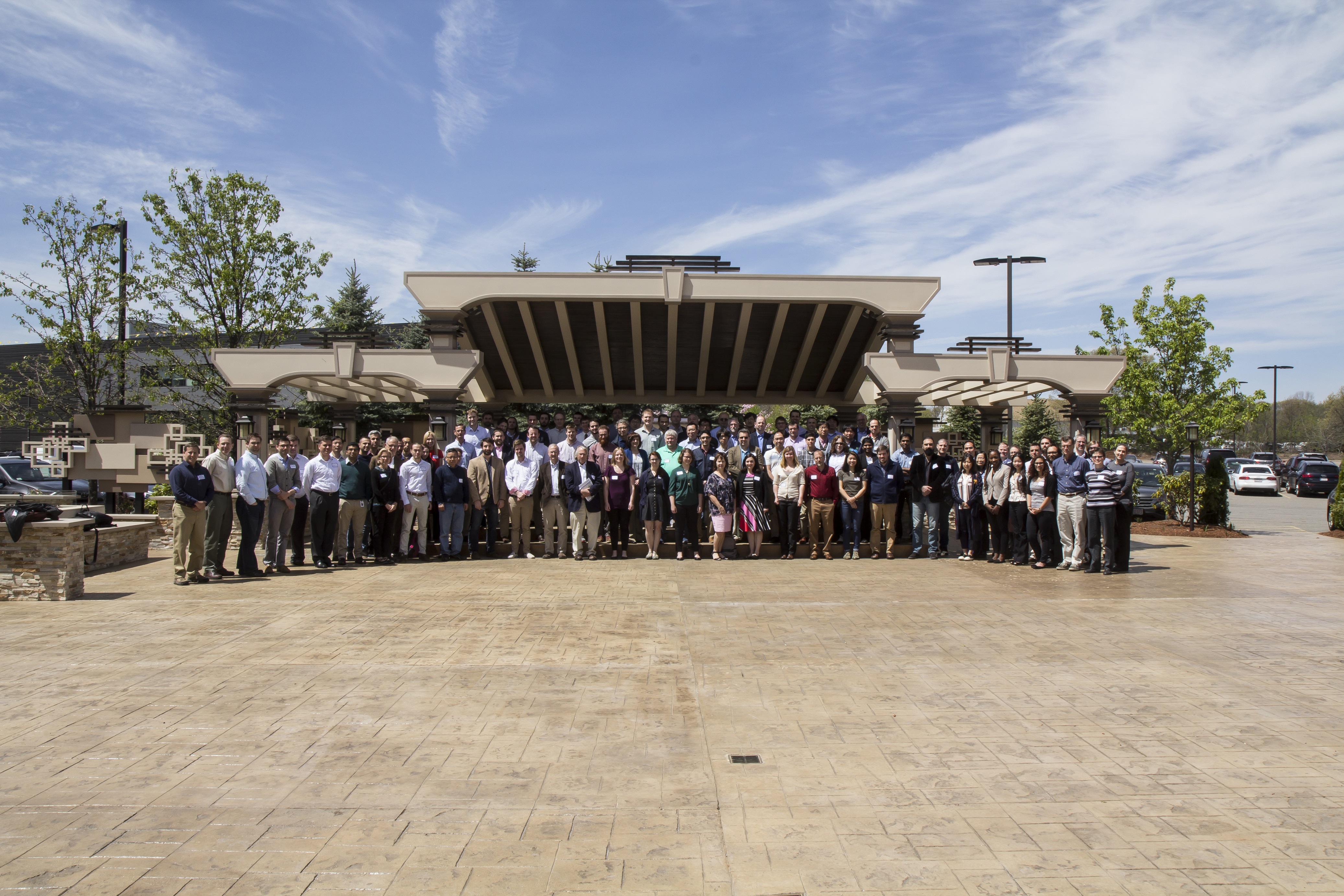
- 2018 ADCIRC Week
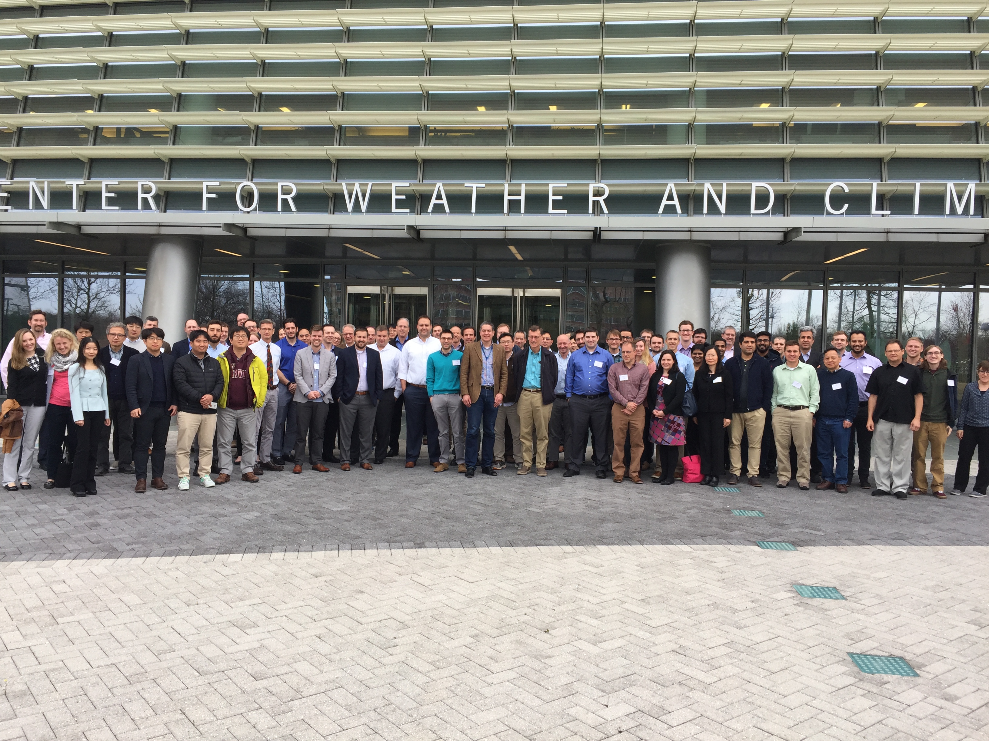
- 2017 ADCIRC User Group Meeting and ADCIRC Boot Camp
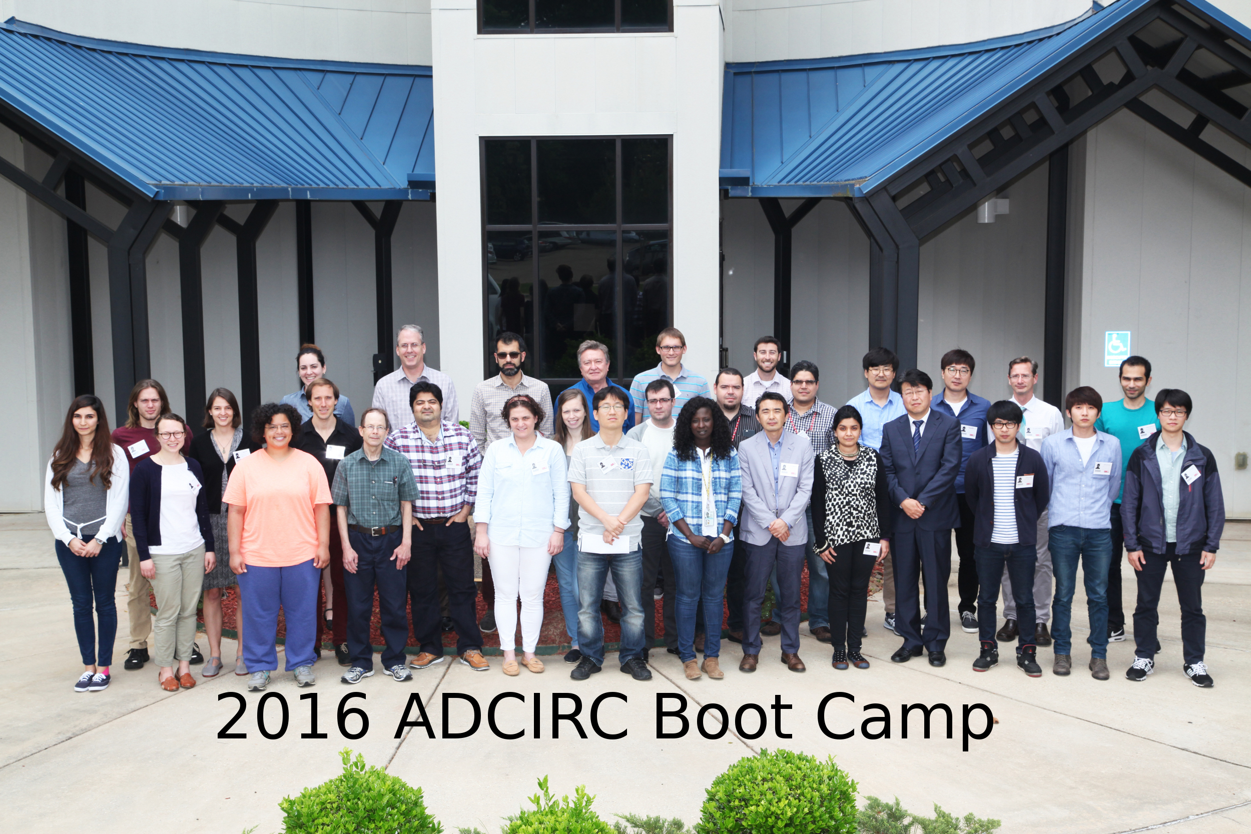
- 2016 ADCIRC User’s Group Meeting and ADCIRC Boot Camp
- 2015 ADCIRC User’s Group Meeting and ADCIRC Boot Camp
- 2014 ADCIRC Workshop and Bootcamp
- ADCIRC Workshop 2013 Final Agenda
- 2011 ADCIRC Workshop Press Release
- 2010 ADCIRC Workshop Abstracts
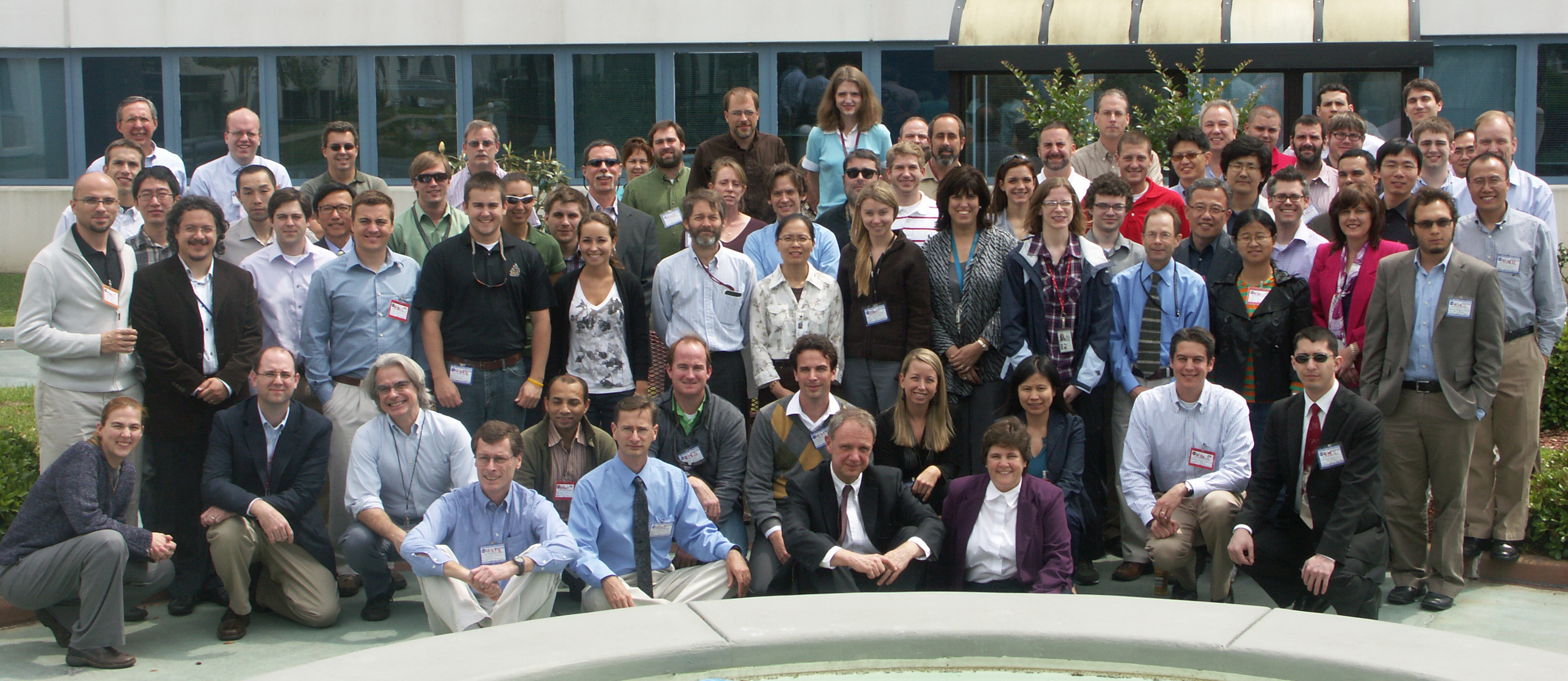
- 2008 ADCIRC Workshop
- Hurricane Storm Surge Forecasts
- Example Hurricane Katrina Simulation
- Products
- ASGS
ADCIRC
The Official ADCIRC Web Site
Grids

Description: The North Carolina v6c ADCIRC mesh is a pre-cursor/starting point for the sequence of grid developments that in the “final” grid for the FEMA project, v98. The v6c grid was subsequently deployed for real time simulation runs with the ADCIRC Surge Guidance System (ASGS) in 2011. The mesh was also used for real time storm surge guidance during Hurricane Irene, Superstorm Sandy, and most recently, Hurricane Arthur of 2014. The mesh has been used to provide guidance to official forecasters for coastal water levels using the North American Mesoscale (NAM) atmospheric model. Automated by ASGS and driven by NAM forecasts, this ADCIRC mesh continues to produce guidance from two forecasts per day. This guidance is used by local National Weather Service forecasters offices, particularly for inundation and wave conditions during Nor’easters. ADCIRC guidance based on this mesh has also been requested by the US Coast Guard for use in search and rescue operations.”