- Community
- Documentation
- User’s Manuals, Compile Options, FAQs, Wiki
- Example Problems
- Reports and Publications
- Related software
- News
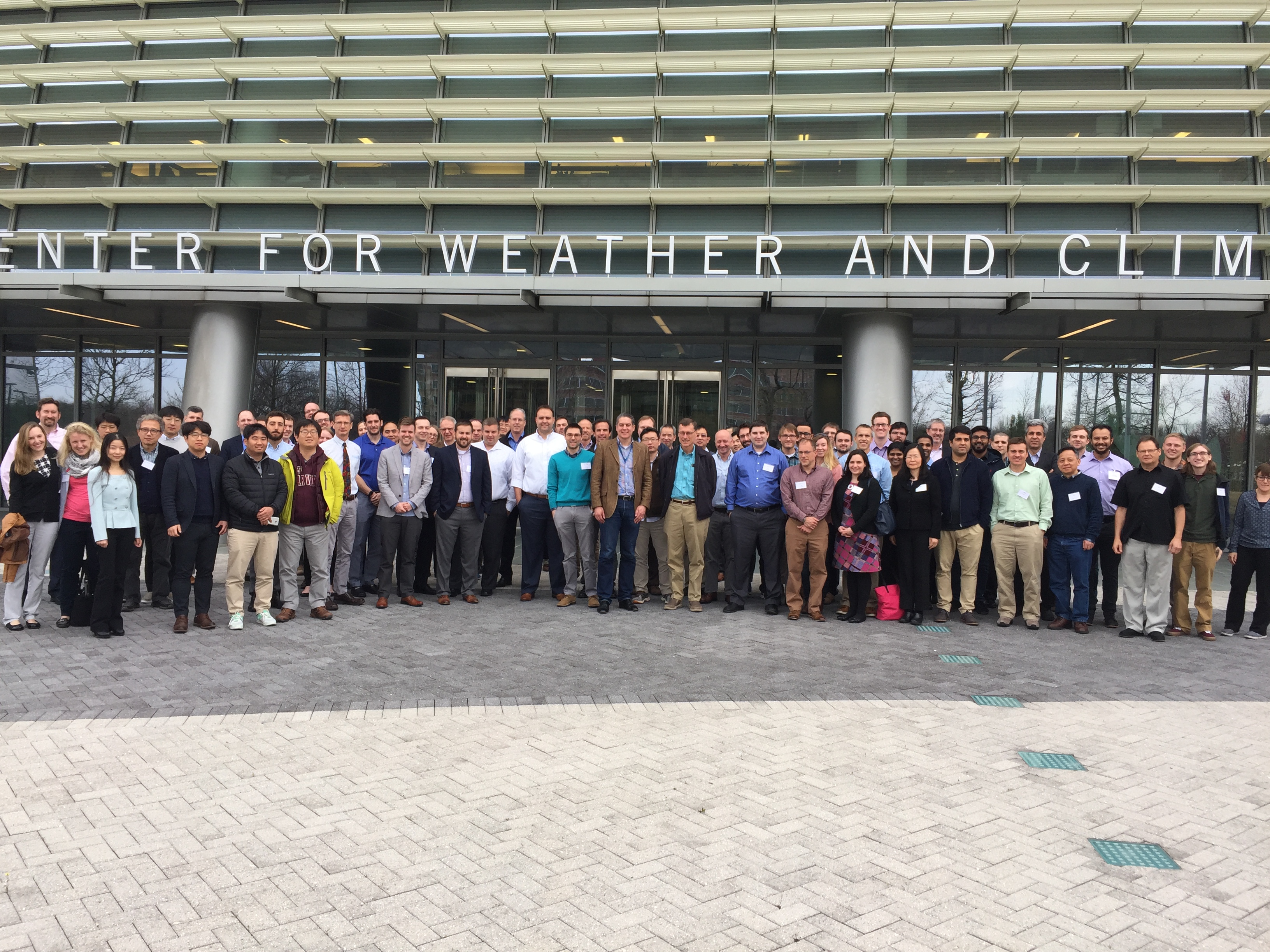
- 2020 Users Group Meeting Presentations
- 2019 ADCIRC Users Group Meeting
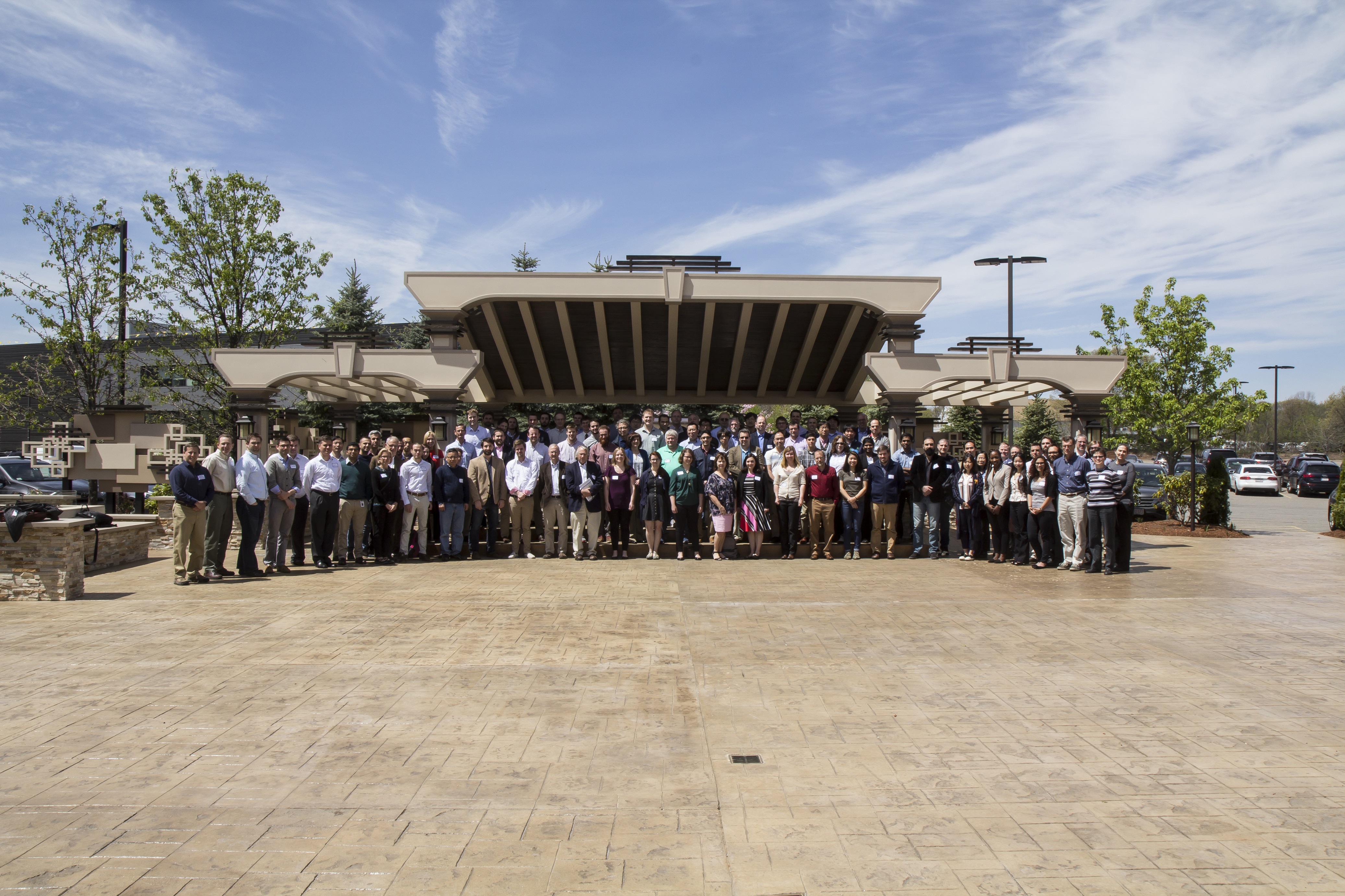
- 2019 Texas ADCIRC Week
- 2018 ADCIRC Week
- 2017 ADCIRC User Group Meeting and ADCIRC Boot Camp
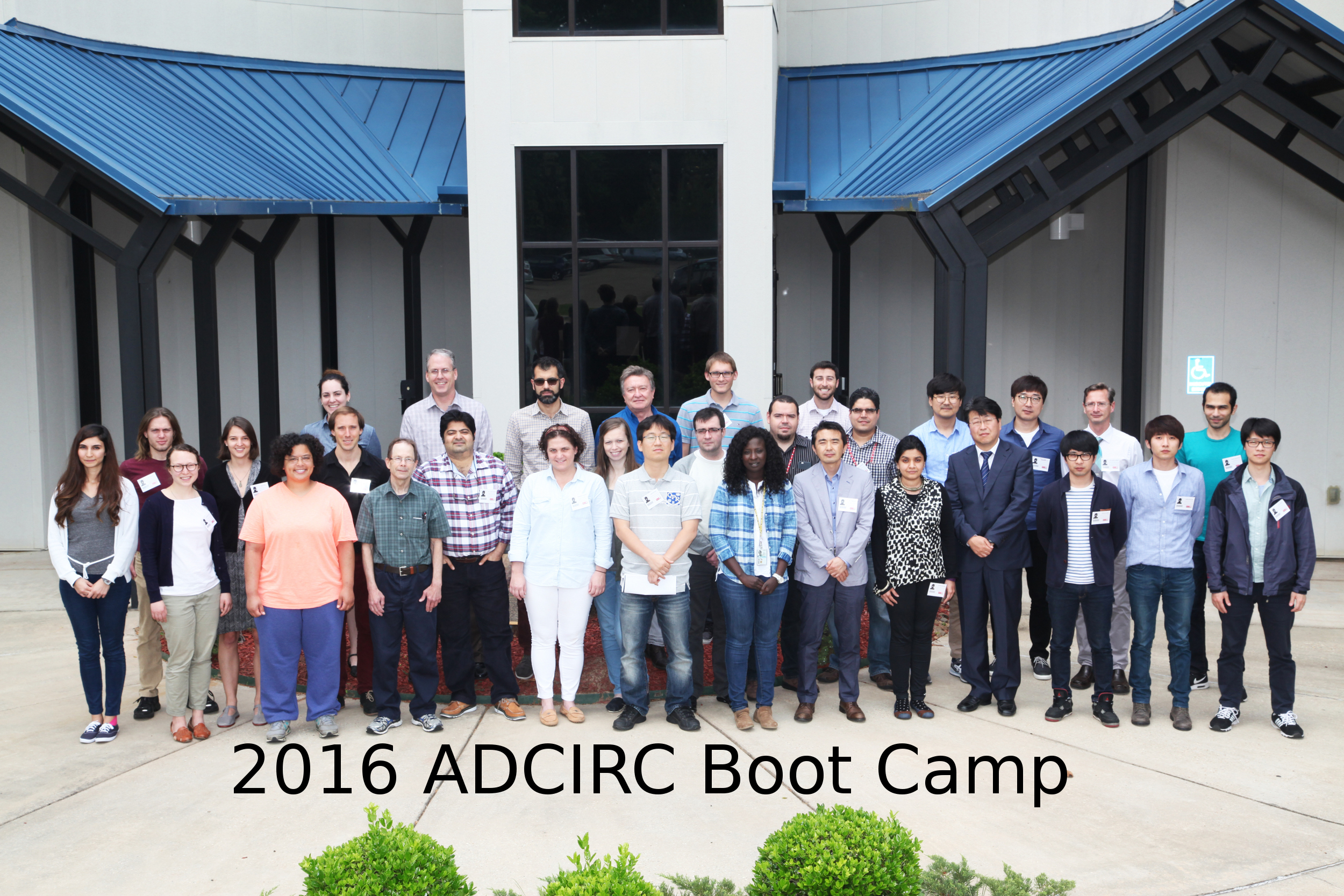
- 2016 ADCIRC User’s Group Meeting and ADCIRC Boot Camp
- 2015 ADCIRC User’s Group Meeting and ADCIRC Boot Camp
- 2014 ADCIRC Workshop and Bootcamp
- ADCIRC Workshop 2013 Final Agenda
- 2011 ADCIRC Workshop Press Release
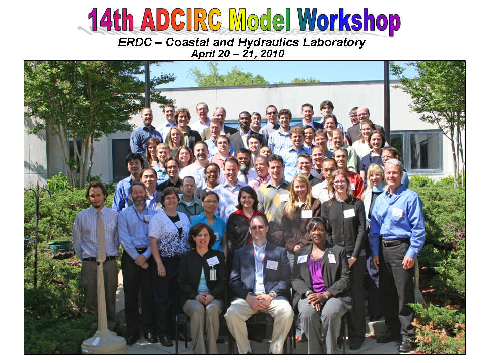
- 2010 ADCIRC Workshop Abstracts
- 2008 ADCIRC Workshop
- Hurricane Storm Surge Forecasts
- Example Hurricane Katrina Simulation
- Products
- ASGS
ADCIRC
The Official ADCIRC Web Site
ADCIRC Tidal Databases
The Western North Atlantic, Caribbean and Gulf of Mexico Tidal Databases cover all waters west of the 60 deg W Meridian and east of the North American continent. They include the M2, S2, N2, K2, O1, K1, Q1, M4, M6 and STEADY tidal constituents. All phases are relative to the Greenwich Meridian. The accuracies of the nonlinearly generated constituents (STEADY, M4, M6) have not been verified and therefore should be used with considerable caution. Included in each archive is a grid file and Fortran source code that extracts all constituents at user specified locations. Three versions of the tidal database are available:
Version ec_95d was completed in 1995 on a grid consisting of 31,435 nodes. It contains elevations and depth-averaged velocities. The database has been verified using tidal elevation data from over 65 observational stations throughout the domain. The database is packaged as a 8 Mbytes zip archive.
Version ec2001_v2d was completed in 2001 on a grid consisting of 254,565 nodes. It contains elevations only. This database has been verified using tidal elevation data from over 100 observational stations throughout the domain. Verification and use of this database is described in this PDF
report. The database is packaged as a 34 Mbytes zip archive
Version ec2001_v2e a slightly updated version of ec2001_v2d with 254,565 nodes. It contains elevations and depth-averaged velocities. It is packaged as a 76 Mbytes zip archive.
Version ec2015 has two different tar balls available. Both will contain updated extraction programs, usage notes, the original mesh file and the input files (fort.13 and fort.15). The different files contain both the elevation and the velocity file (fort.53 and fort.54) found here. And one that contains the elevation file only (fort.53) found here. Verification and use of this database is described in this PDF report.
The Eastern Pacific Tidal Database covers waters along the Northern Mexican Coast, the US West Coast, the Canadian West Coast and the Alaskan South Coast. It includes M2, S2, N2, K2, O1, K1, P1, Q1, M4, M6 and STEADY tidal constituents. All phases are relative to the Greenwich Meridian. The accuracies of the nonlinearly generated constituents (STEADY, M4, M6) have not been verified and therefore should be used with considerable caution. Included in each archive is a grid file and Fortran source code that extracts all constituents at user specified locations.
Version wc_2003 was completed in 2003. The grid contains 272,913 nodes. The database includes elevations and depth-averaged velocities and is packaged as a 89 Mbytes zip archive. Verification and use of this database is described in a PDF report.
Version ENPAC15 was completed in 2015. It contains all 37 of the standard NOS constituents for both elevation and velocity. Two archives are available; both contain updated extraction programs (with compilation bug fixes), usage notes, the ADCIRC mesh file and the input files (fort.13 and fort.15). The different files contain both the elevation and velocity harmonic files (fort.53 and fort.54) found here or one that contains only the elevation harmonic files (fort.53) found here. Verification and use of this database is described in this PDF report.

Support for the development of these databases has been provided by the US Army Corps of Engineers. They are made available free of charge for use as boundary conditions for local area circulation models and are not intended for navigational purposes. The authors and the US Army Corps of Engineers assume no responsibility for their accuracy.