- Community
- Documentation
- User’s Manuals, Compile Options, FAQs, Wiki
- Example Problems
- Reports and Publications
- Related software
- News
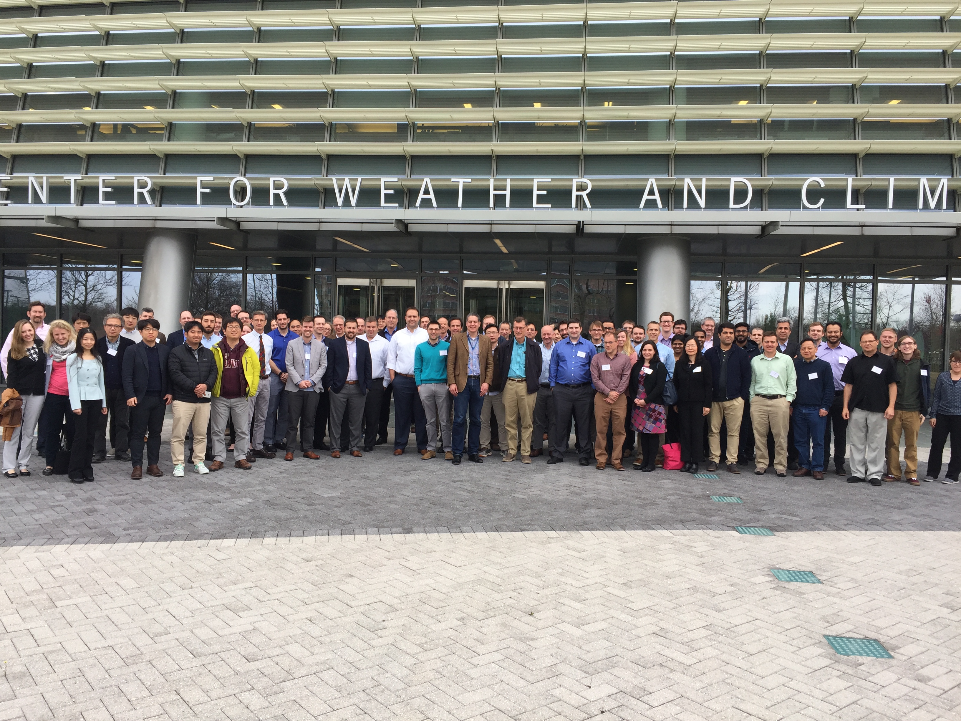
- 2020 Users Group Meeting Presentations
- 2019 ADCIRC Users Group Meeting
- 2019 Texas ADCIRC Week
- 2018 ADCIRC Week
- 2017 ADCIRC User Group Meeting and ADCIRC Boot Camp
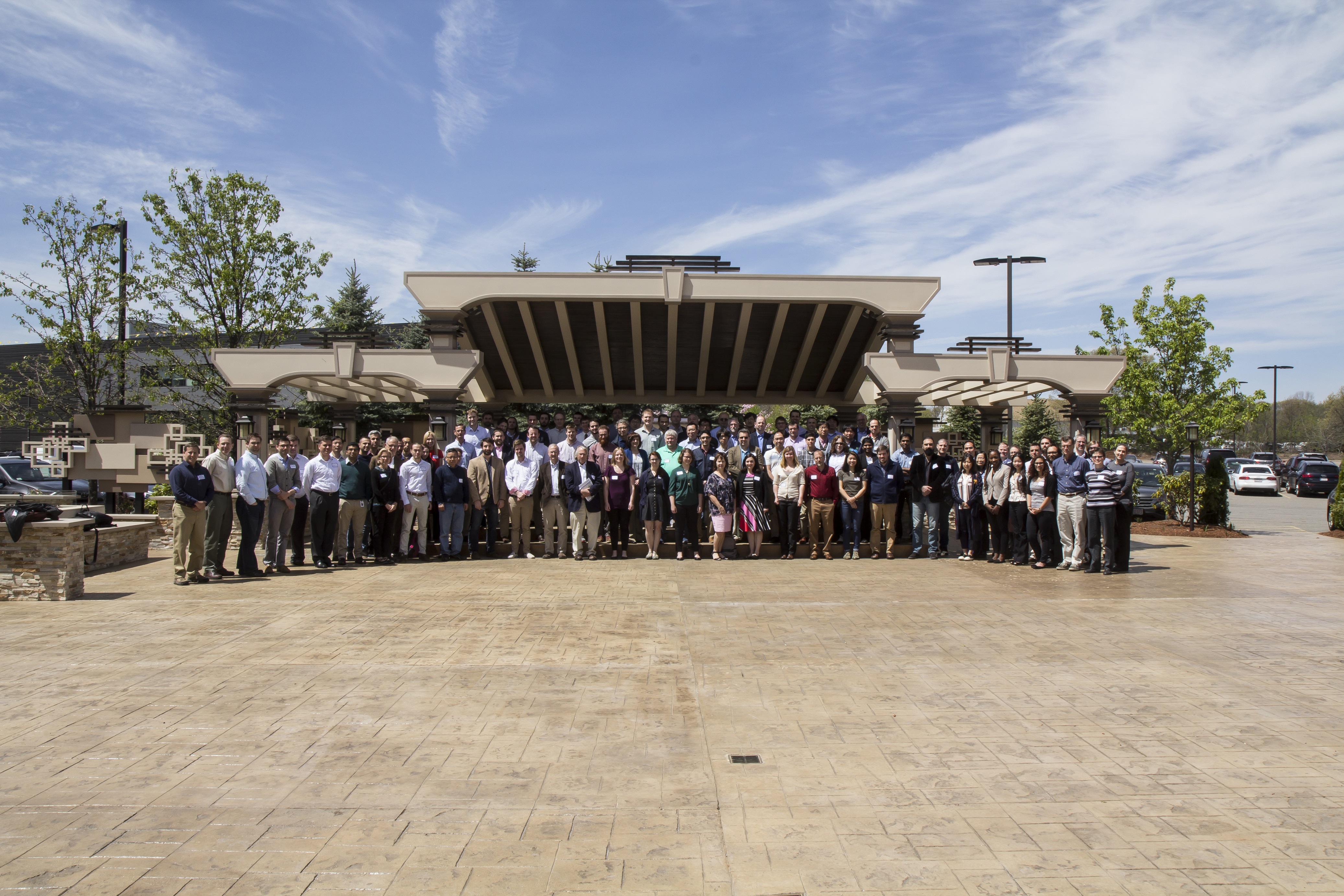
- 2016 ADCIRC User’s Group Meeting and ADCIRC Boot Camp
- 2015 ADCIRC User’s Group Meeting and ADCIRC Boot Camp
- 2014 ADCIRC Workshop and Bootcamp
- ADCIRC Workshop 2013 Final Agenda
- 2011 ADCIRC Workshop Press Release
- 2010 ADCIRC Workshop Abstracts
- 2008 ADCIRC Workshop
- Hurricane Storm Surge Forecasts
- Example Hurricane Katrina Simulation
- Products
- ASGS
ADCIRC
The Official ADCIRC Web Site
Quarter Annular Harbor with Tidal Forcing Example
This example problem was developed to assess the performance of finite element numerical schemes applied to the shallow-water equations (Lynch and Gray, 1979). The problem contains spatially varying geometry and bathymetry, simultaneously tests the model in both horizontal coordinate directions, is radially symmetric and permits analytical solutions for the linear 2DDI and 3D problems (Lynch and Gray, 1978, Lynch and Officer, 1985). Poor numerical schemes will show spurious modes (oscillations) and/or excessive numerical dissipation for this problem.
PROBLEM SETUP: The problem geometry is shown in Fig. E1.1. The domain consists of a quarter of an annulus enclosed with land boundaries on three sides and an open ocean boundary on the outer edge. The inner radius has r1 = 60,960 m and the outer radius has r2 = 152,400 m. The bathymetric depth along the inner radius is h1 = 3.048 m and drops quadratically (h= h1r2/r12) to the outer radius where h2 = 19.05 m. The finite element grid is shown in Fig. E1.2 (including both node and element numbers). The discretization uses a radial spacing of 15,240 m and an angular spacing of 11.25 deg.


ADCIRC INPUT: Two input files are required by ADCIRC to run this test problem. Their format and contents are described in detail in the input file section of the user’s manual. A very brief summary follows. The Grid and Boundary Information File (fort.14) indicates that the grid contains 96 elements and 63 nodes. This information is followed by tables of nodal information (node number, horizontal coordinates and depth) and elemental information (element number, number of nodes in an element and node numbers that comprise the element). An elevation specified (open) boundary (1 segment that contains 9 nodes beginning with node number 7 and ending with node number 63) and a normal flow (zero normal flow) mainland boundary (1 segment that contains 21 nodes beginning with node 63 and ending with node 7) complete the file. The Model Parameter and Periodic Boundary Condition File (fort.15) indicates that the model is started from a state of rest (cold started), a Cartesian coordinate system is specified, finite amplitude, advection and quadratic bottom friction nonlinearities are included, tidal potential or wind stress forcings are not active, and gravity is in units of m/s2 (indicating distance units of meters and velocity units of m/s). The elevation boundary is forced with a spatially uniform sinusoidal elevation having a period of 44,712 s (~12.42 hrs), amplitude of 0.3048 m, and phase of 0 deg. This forcing is ramped up over the first two days of the run. The run lasts for 5 days using a time step of 174.656 s. Model water level and velocity time series are output every three time steps at 3 locations in the domain and every three time steps at all nodes in the domain. Every time step over the final day of the run, the model elevation and velocity fields are harmonically analyzed to extract one constituent (M2). Hot start files are generated every 512 time steps during the course of the simulation.
ADCIRC OUTPUT: This example run will generate 10 files containing various forms of output information. Their format and contents are described in detail in the output file section of the user’s manual. A very brief summary follows. The General Diagnostic Output file (fort.16) echo prints much of the information from the input files, provides information on processing of input data by ADCIRC and records error messages from ADCIRC. The Iterative Solver ITPACKV 2D Diagnostic Output file (fort.33) contains diagnostic information from the solver if it has difficulty converging. Normally, this file is empty on completion of a model run. The Elevation Harmonic Constituents at Specified Elevation Recording Stations file (fort.51) contains harmonic constituent data for elevation for the specified constituents at the three specified elevation recording stations. The Depth-averaged Velocity Harmonic Constituents at Specified Velocity Recording Stations file (fort.52) contains harmonic constituent data for velocity for the specified constituents at the three specified velocity recording stations. The Elevation Harmonic Constituents at All Nodes in the Model Grid file (fort.53) contains harmonic constituent data for elevation for the specified constituents at all nodes in the domain. The Depth-averaged Velocity Harmonic Constituents at All Nodes in the Model Grid file (fort.54) contains harmonic constituent data for velocity for the specified constituents at all nodes in the domain. The Elevation Time Series at Specified Elevation Recording Stations file (fort.61) contains elevation time series output every 3 time steps at the three specified elevation recording stations. The Depth-averaged Velocity Time Series at Specified Velocity Recording Stations file (fort.62) contains velocity time series output at every 3 time steps at the three specified velocity recording stations. The Elevation Time Series at All Nodes in the Model Grid file (fort.63) contains elevation time series output every 3 time steps at all nodes in the domain. The Depth-averaged Velocity Time Series at All Nodes in the Model Grid file (fort.64) contains velocity time series output every 3 time steps at all nodes in the domain. Finally, limited run time information is printed on the screen during model execution. In addition to the 10 files described above, ADCIRC also outputs two Hot Start Output files (fort.67, fort.68).
References
Lynch, D.R., and W.G. Gray. 1978. Analytical solutions for computer flow model testing. ASCE Journal of the Hydraulics Division. 104:1409-28.
Lynch, D.R. and W.G. Gray. 1979. A wave equation model for finite element tidal computations. Computers and Fluids. 7:207-228.
Lynch, D.R. and C.B. Officer. 1985. Analytic test cases for three-dimensional hydrodynamic models. International Journal of Numerical Methods in Fluids. 5:529-543.